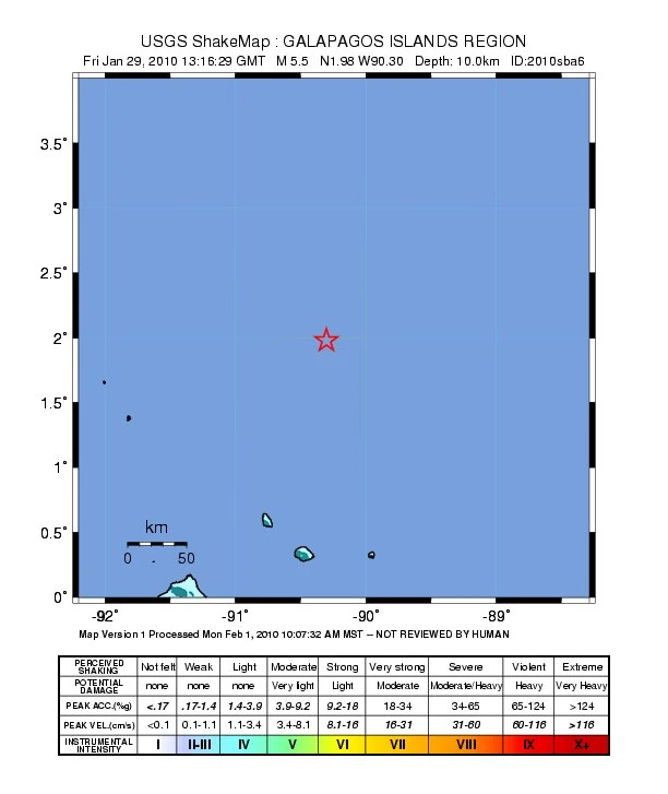
| Country: | Galápagos Islands |
| Date (local): | January 29, 2010, 07:16:26 |
| Date (UTC): | 13:16:26 |
| Magnitude: | 5.5 Mw |
| Depth: | 10 km |
| Epicenter coordinates: | 1.63°N, 90.28°W |
| Epicenter location: | ca. 290 km N of Puerto Villamil |
| Flinn-Engdahl region: | 696 — Galápagos Islands region |
| Type: | oceanic spreading zone |
| Countries/ regions affected: |
Galápagos Islands (Ecuador) |
| Tectonic plates: | Cocos Plate, Nazca Plate |
Earthquakes in 2010, Galápagos area (M5.5 and above)
29 Jan (5.5) • 29 Jan (5.6)
Earthquakes in the FE region 696 (Galápagos Islands region) in 2001–2010
template missing